This Portfolio was created during an MSc Geographical Information Systems (GIS) at the University of Leeds and following course completion is now updated to showcase selected pieces of work I complete in my spare time.
About
Having recently finished my MSc GIS course (2019-2020), I look forward to further developing my skills in the Geospatial sector. I am open to part-time paid and voluntary remote opportunities. Below are a selection of skills developed and achievements throughout higher education courses.
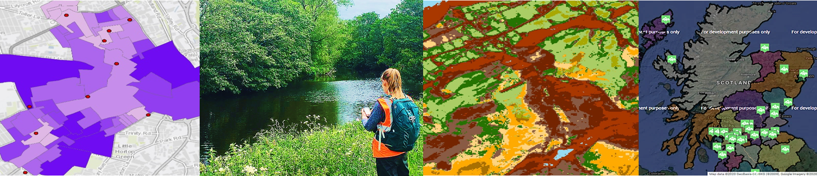
Masters-level modules completed include Data Visualisation and Analysis, Geodemographics and Neighbourhood Analysis, Web-based GIS and Digital Image Processing for Environmental Remote Sensing. A Personal and Professional Development project involved "Identification of Informal Settlements across the city of Buenos Aires, Argentina using ENVI Rule-Based Classification". This course covered the use of software including ArcMap, ArcGIS Pro, QGIS, SPSS, Tableau, and Erdas Imagine.
I was previously awarded a first class BSc Geography degree. My dissertation focussed on "Potentially Harmful Elements due to Metal Mining contamination in Cononley Beck, a tributary of the River Aire, North Yorkshire". All work can be made available upon request. I completed this alongside six modules including an advanced GIS and Remote Sensing course, where 92% was awarded upon course completion. This course covered the use of ArcMap and extensions: Spatial Analyst, Model Builder and Network Analyst alongside ArcGlobe and ArcScene.
Recent Achievements
- My 15,000 word Masters Dissertation entitled "Digital Divide: Mapping the Geodemographics of Internet Accessibility across Great Britain" was awarded 2nd place in a national competition run by the Society of Location Analysis.
- Awarded a Distinction in my MSc GIS course.